
/ 01EXPLORE / COMMUNITY MAP
Find somewhere worth flying.
Explore community-submitted locations, understand the terrain and open every spot without leaving the map.
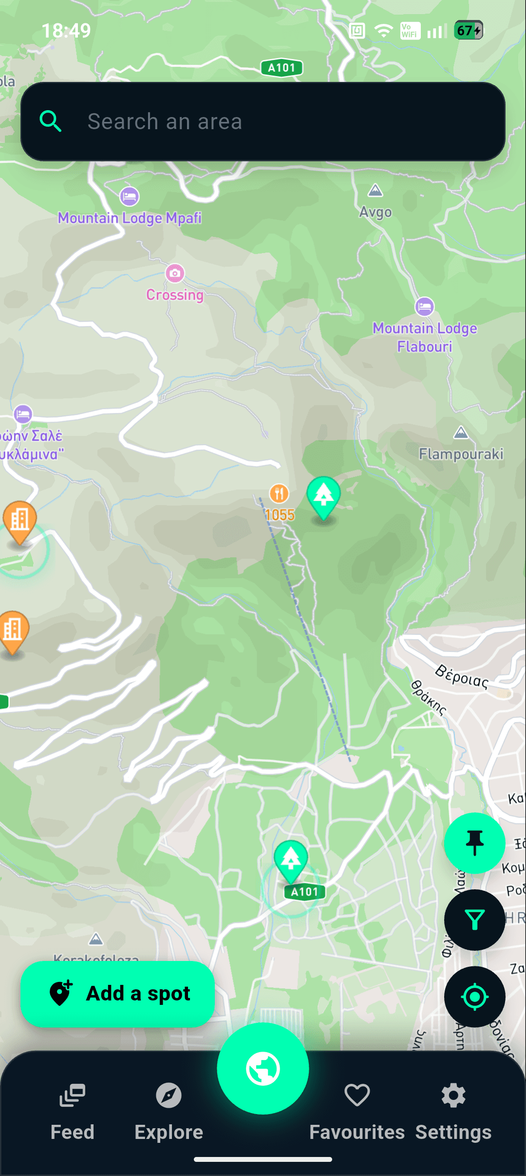
One shared point of reference.
Flying spots, scouting pins, pilot activity, events and community knowledge—built around the map.
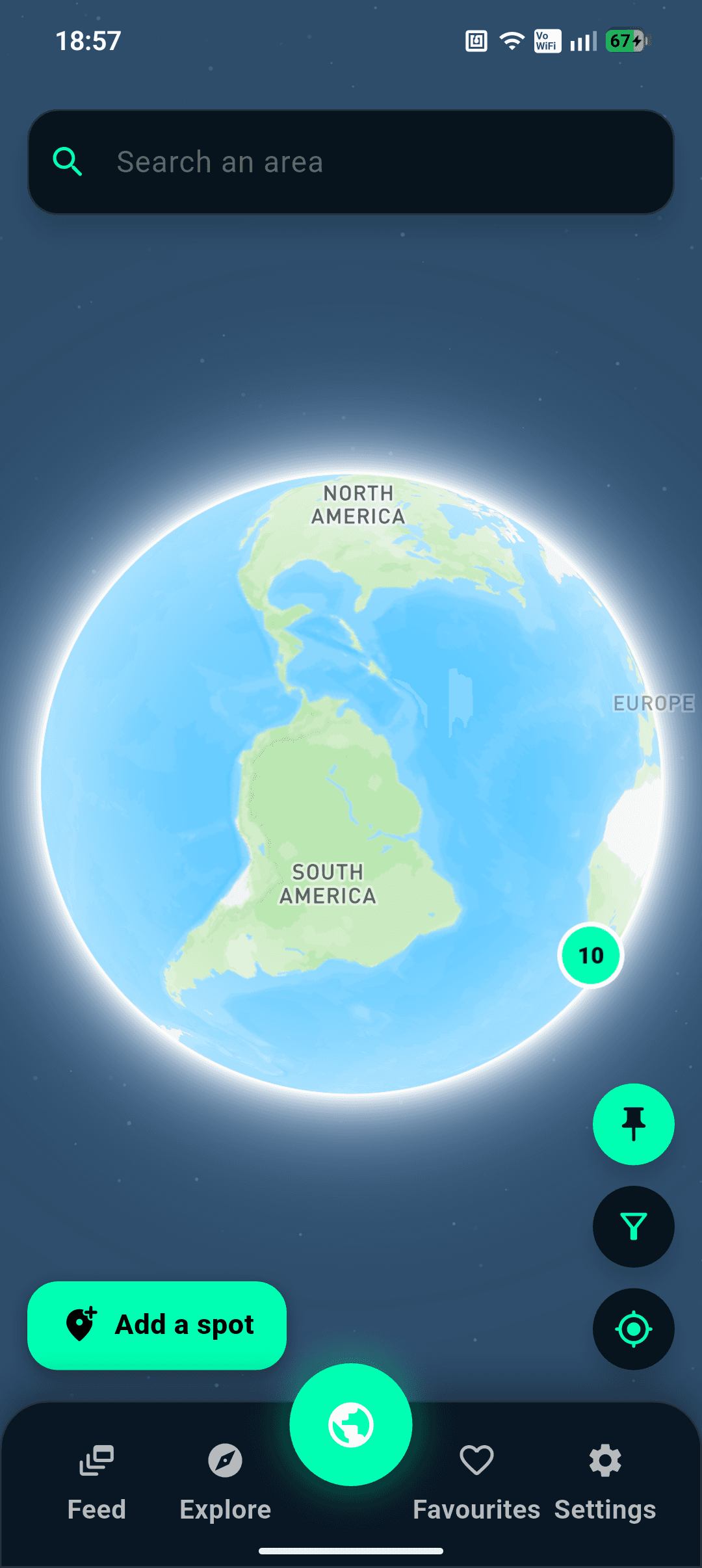
Less time searching.
More stick time.
Explore community-submitted locations, understand the terrain and open every spot without leaving the map.
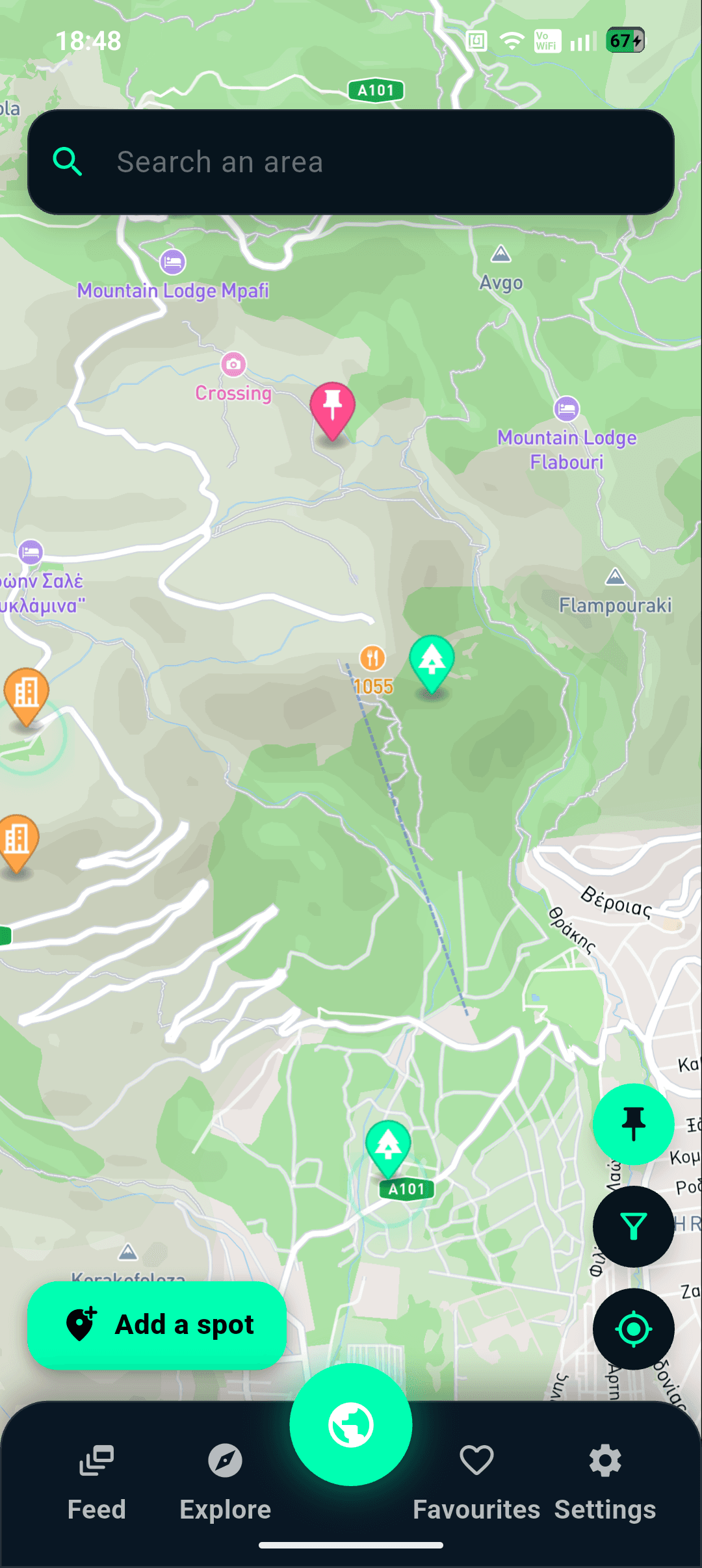
Save places that look promising when you do not have time to explore them. Come back later, check the location, then mark it as a flying spot or remove the pin.
Check the spot, see pilot activity and let the local crew know when you are flying.
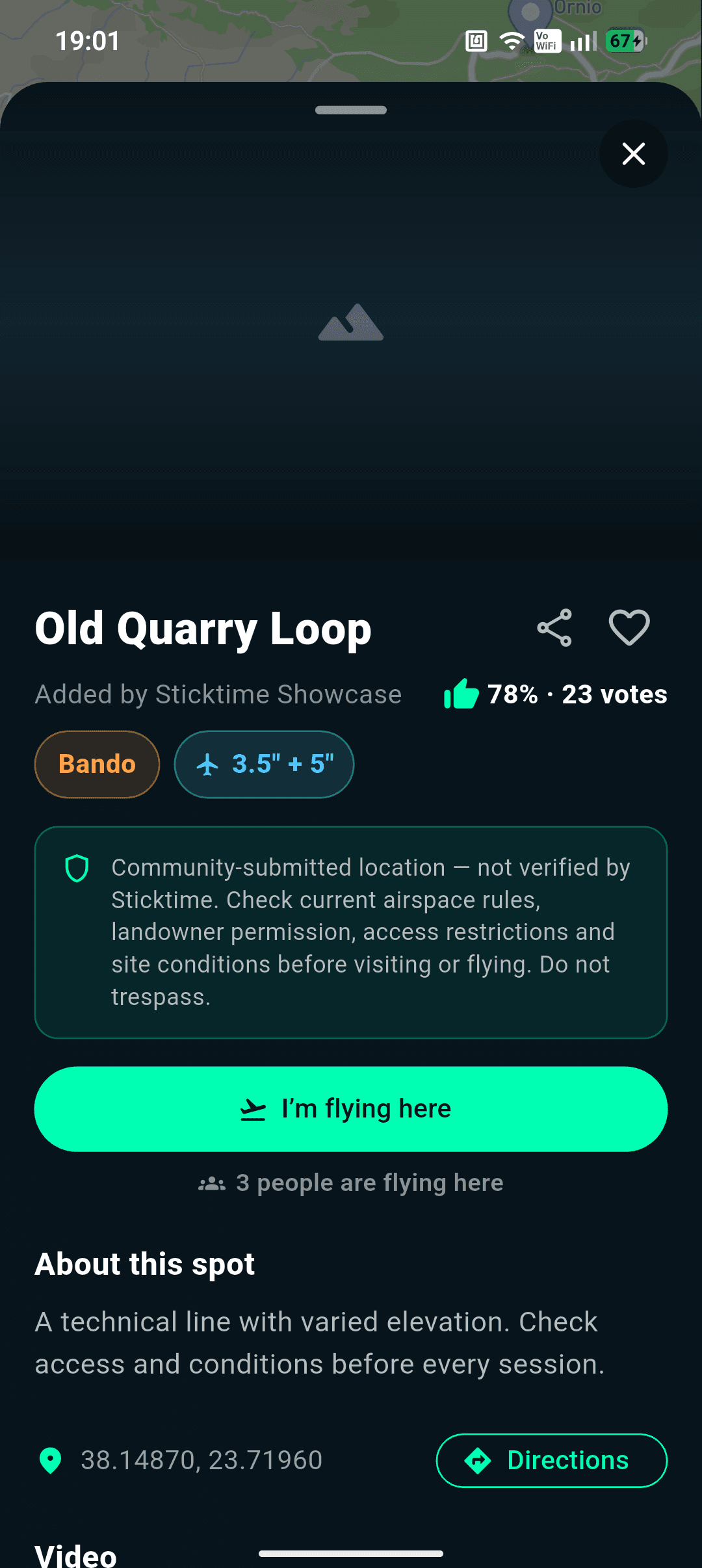
Give every session a clear location, time and shared point of reference for the people joining it.
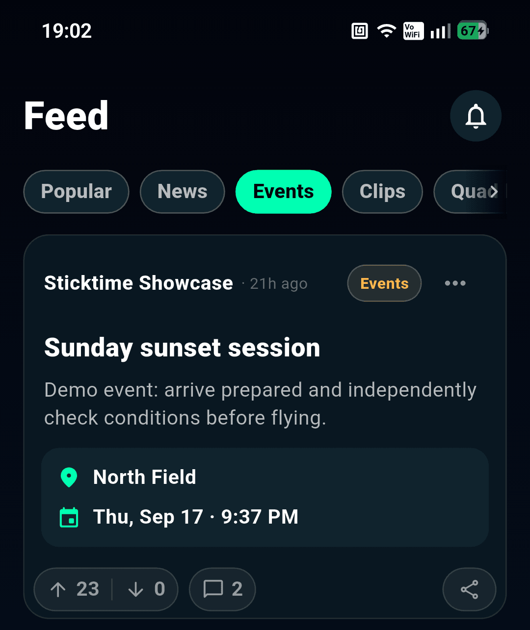
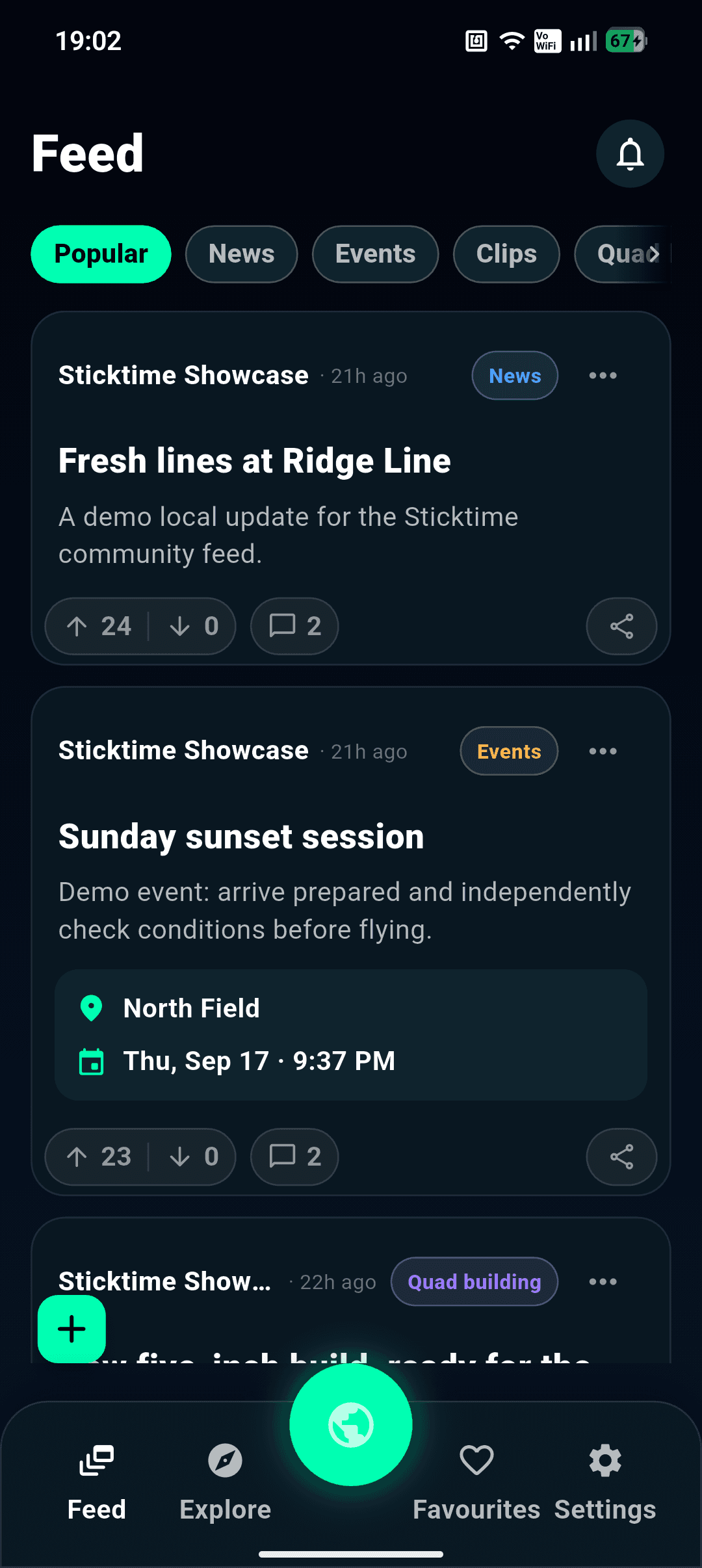
Share clips, builds and practical answers with pilots who already understand the craft.
FLY RESPONSIBLY
Spots are submitted by users. Always independently check airspace, property access, restrictions, weather and local laws before flying.
[ ANDROID / TESTING ]